Sectors
Survey built around the project, not around the drone
A corridor, a runway, a forested reservoir slope and a salt-flat solar park each need a different sensor, flight plan and deliverable. Here is how the work changes across the eight sectors we fly.

In short
The sensor and the flight plan change with the project. A highway corridor is long and thin, an airport sits inside controlled airspace, a forested hydro slope needs LiDAR to reach bare earth, and a solar park needs grading accuracy on ground that only looks flat. Flying Pixel plans each of these eight sectors to its own capture spec and deliverable set.
Flying survey-grade missions in India
Mapped across corridors, sites and catchments
Enterprise and government projects delivered
Survey-grade aircraft in the fleet
01 · Highways
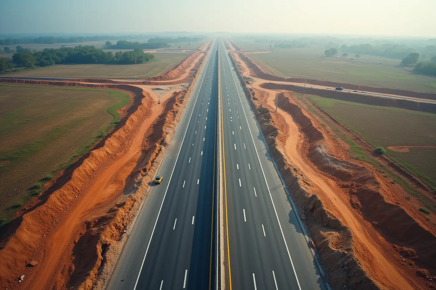
Highway and expressway corridor survey
A corridor is long and thin, which is the worst shape for ground survey and the best shape for aerial capture. One mobilisation covers tens of kilometres at a consistent accuracy, and repeat flights turn earthwork claims into measured quantities.
Flown for NHAI across highway works, and for Sterlite Power along a 200 km transmission corridor.
Solutions that apply
Typical deliverables
- Corridor orthomosaic
- DTM
- Contours
- Cut and fill volumes
- As-built comparison
02 · Airports
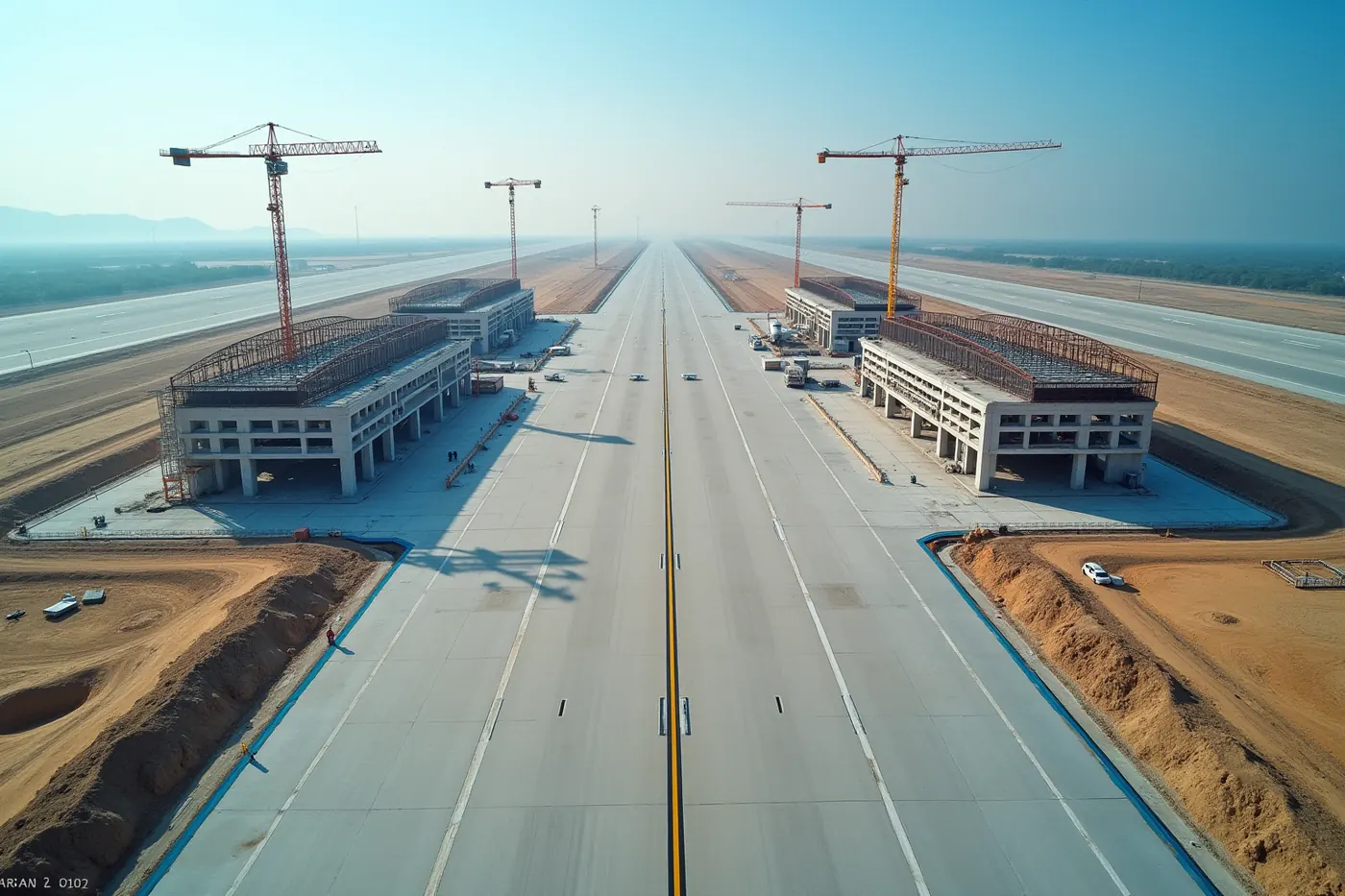
Airport construction and runway survey
Airport sites are large, flat and tightly toleranced, and they sit inside controlled airspace. The survey has to be planned around clearance and around an apron that changes shape every month.
Monthly progress reporting flown for L&T across the Navi Mumbai Airport build.
Solutions that apply
Typical deliverables
- Apron and runway orthomosaic
- Progress model
- Volumes
- Obstacle survey
03 · Ports
Port, quay and coastal survey
Port work needs the land and the water in one dataset. Stockpiles move weekly, haul roads get set out against existing ground, and the survey has to hold up when quantities are certified.
Haul road setting-out survey delivered for Adani Ports at Dighi Port.
Solutions that apply
Typical deliverables
- Yard orthomosaic
- Stockpile volumes
- Bathymetric surface
- Set-out drawings
04 · Hydro-electric
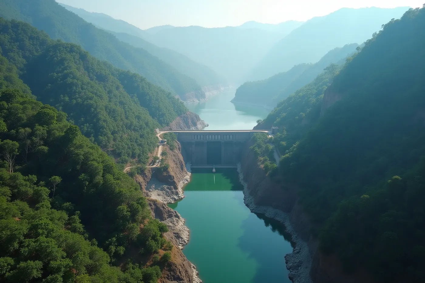
Hydro-electric project and reservoir survey
Hydro sites combine steep slopes, dense canopy and water. Photogrammetry alone returns treetops rather than ground, which is the wrong surface for penstock alignment or reservoir capacity.
Aerial LiDAR survey delivered for EDF Energy at the Sawale hydro project.
Solutions that apply
Typical deliverables
- Bare-earth DTM
- Reservoir capacity
- Slope contours
- Cross sections
05 · Solar parks
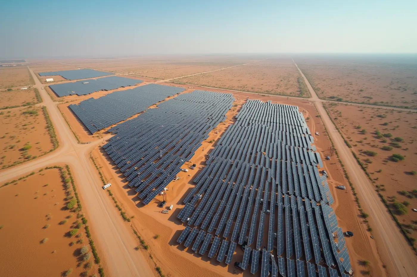
Solar park topography and thermal survey
Solar sites look flat and are not. Small level changes decide the grading quantity and the module table layout, and once the park is live, thermal capture is the fastest way to find underperforming strings.
Topography survey delivered for Aditya Birla Renewables at a solar park in Kutch.
Solutions that apply
Typical deliverables
- Grading contours
- DTM
- Cut and fill
- Thermal defect report
06 · Real-estate construction
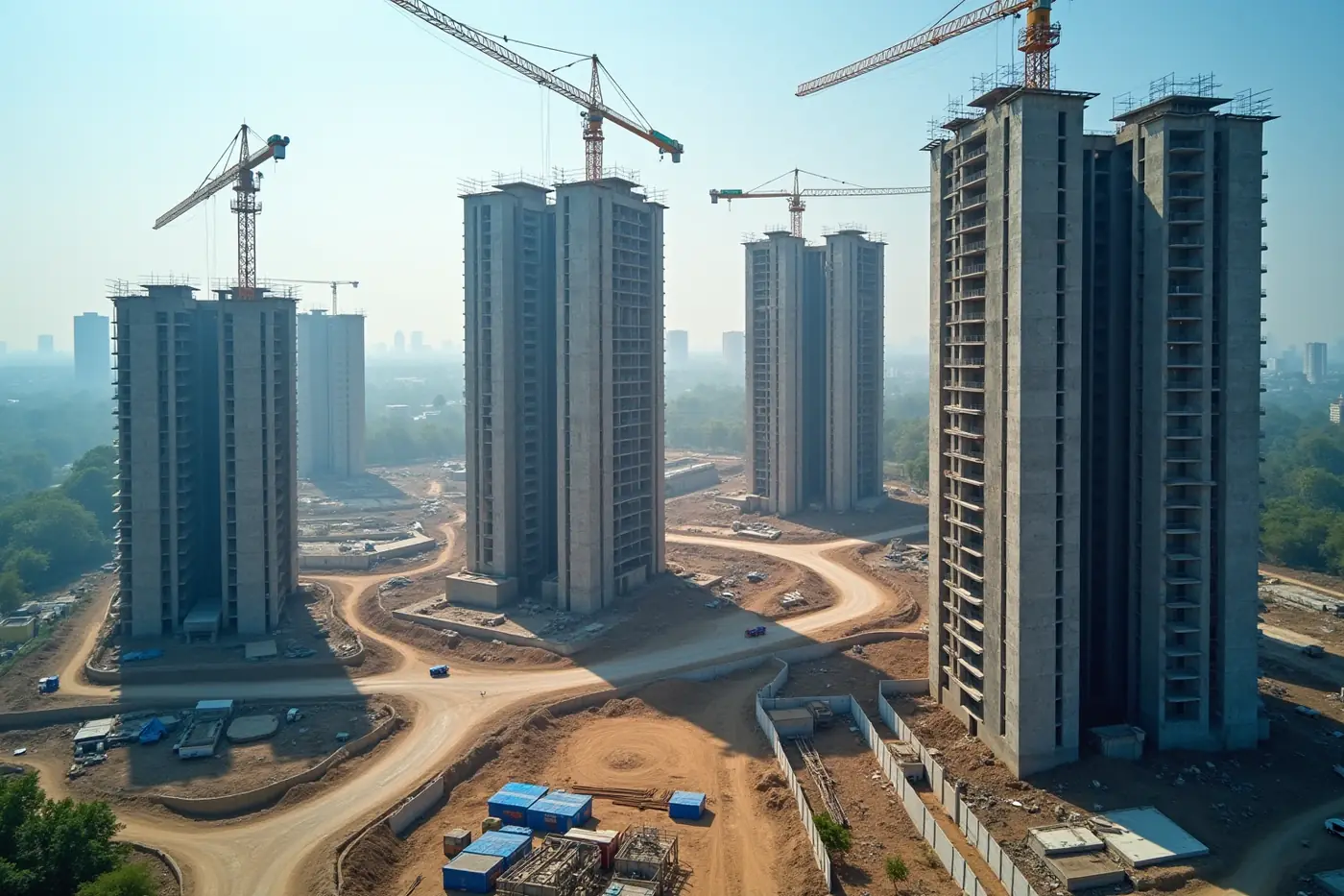
Real-estate and township construction survey
Developers need progress they can show and quantities they can certify. A monthly flight gives both from one capture: a measured model for the project team and clean visuals for sales and investors.
Delivered for Embassy Group, BL Kashyap and Reliance Group projects.
Solutions that apply
Typical deliverables
- Progress orthomosaic
- 3D site model
- Volumes
- Marketing aerials
07 · Government & public
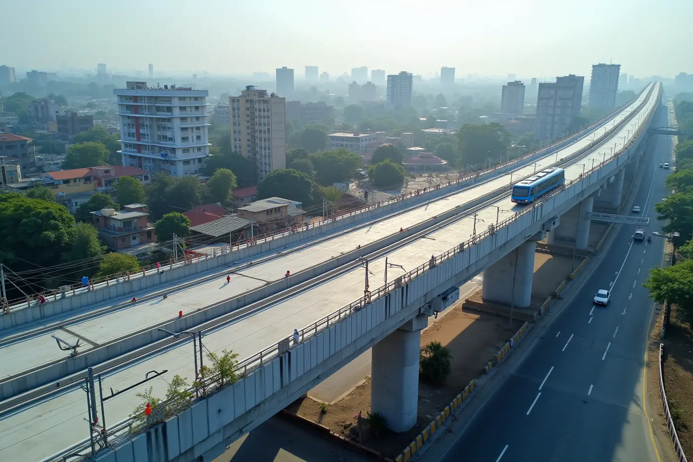
Government and public infrastructure survey
Public work is documented work. The deliverable has to arrive with the control report, the accuracy statement and the pilot certification that a tender review will ask for, in the format the department specified.
Delivered for NHAI, NHSRCL, Central Railway and NHPC.
Solutions that apply
Typical deliverables
- Tender-ready survey pack
- Control report
- GIS layers
- Orthomosaic
08 · Mining & energy
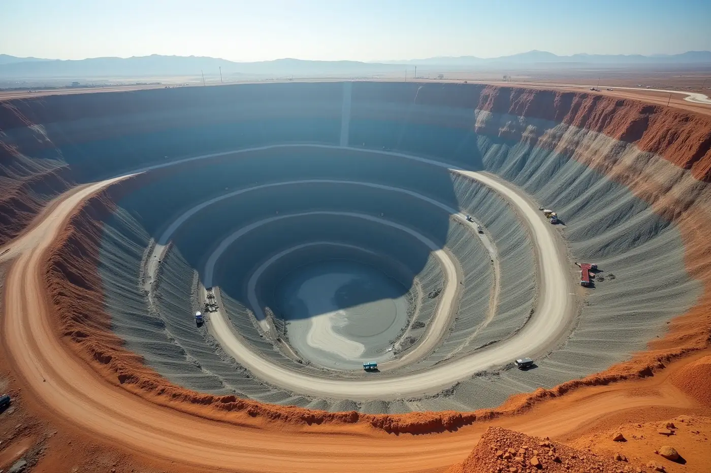
Mining, quarry and energy asset survey
Stockpile volume is money, and a monthly walkover measures it badly. Aerial capture measures the whole pile geometry at once, and the same flight updates haul road and bench survey.
Delivered for Tata Power, Torrent Power and Takalkar Power assets.
Solutions that apply
Typical deliverables
- Stockpile volumes
- Bench survey
- Haul road profiles
- Progress comparison
Compare
Which sensor your project actually needs
The choice is driven by what blocks the view of the ground and what the deliverable has to prove. Find your project type and read across.
| Sector | Primary sensor | What drives the spec | Primary deliverable |
|---|---|---|---|
| Highways and expressways | Photogrammetry, LiDAR where vegetated | Earthwork quantity certification | Corridor orthomosaic, DTM, cut and fill volumes |
| Airports | Photogrammetry | Airspace clearance and tight tolerance on a changing apron | Apron and runway orthomosaic, progress model, obstacle survey |
| Ports and coastal | Photogrammetry plus bathymetry | One continuous surface across the waterline | Yard orthomosaic, stockpile volumes, bathymetric surface |
| Hydro-electric | LiDAR plus bathymetry | Bare earth under canopy on steep slopes | Bare-earth DTM, reservoir capacity, slope contours |
| Solar parks | Photogrammetry, thermal once operating | Small level changes across ground that looks flat | Grading contours, cut and fill, thermal defect report |
| Real-estate construction | Photogrammetry | Certifiable progress plus presentable visuals from one flight | Progress orthomosaic, 3D site model, volumes |
| Government and public | Chosen per specification | Documentation a tender review will ask for | Tender-ready pack, control report, GIS layers |
| Mining and energy | Photogrammetry, LiDAR on vegetated corridors | Stockpile volume accuracy, since volume is money | Stockpile volumes, bench survey, haul road profiles |
References
The standards behind these claims
Certification, datum and coordinate system are not things a survey company gets to define for itself. These are the bodies that do.
- Directorate General of Civil Aviation
The authority that certifies remote pilots and sets drone operating rules in India.
- Survey of India
India's national survey and mapping organisation, and the source of the national geodetic and vertical datum work our deliverables reference.
- EPSG Geodetic Parameter Dataset
The registry behind the EPSG codes every deliverable is written to, which is how a coordinate system is stated without ambiguity.
Links checked and confirmed live on 12 August 2026.
FAQ
Questions by project type
If your question is not here, ask it in the enquiry form and a surveyor will answer it.
How is a road or highway survey done with a drone?
A corridor is long and thin, which is the worst shape for ground survey and the best for aerial capture. Control is laid along the alignment, the corridor is flown in overlapping strips in a single mobilisation, and the result is delivered as a corridor orthomosaic, a terrain model, contours and cut and fill volumes.
What is a road survey used for?
Design, quantities and claims. The terrain model drives the cut and fill design, the orthomosaic gives the base map that the alignment is drawn on, and repeat flights turn earthwork progress into measured quantities rather than estimated ones. On widening projects it also records the existing carriageway before work starts.
How are drones used for construction progress monitoring?
By flying the same saved mission on a fixed schedule, so each capture is directly comparable with the last. That turns a series of site visits into a measurable time series: progress orthomosaics, volume change between visits, and a 3D model at each milestone. We run this pattern monthly for L&T across the Navi Mumbai Airport build.
What are the benefits of drones on a construction site?
One capture serves several teams. The project team gets measured quantities and a progress model, the design team gets an as-built comparison against drawings, and marketing gets clean visuals, all from the same flight. It also removes the need to walk people across active working areas to take measurements.
How often should a construction site be flown?
Monthly suits most programmes, because it matches how progress claims and reporting cycles usually run. Sites moving quickly, or those where earthwork quantities are contested, sometimes justify fortnightly capture. The important thing is that the interval is fixed and the flight path repeats, since comparability is what makes the series useful.
How do you survey an airport that is still operating or under construction?
Airport sites are large, flat and tightly toleranced, and they sit inside controlled airspace, so the survey is planned around clearance first and the apron second. The layout changes shape every month, so repeat capture has to be scheduled against the construction sequence rather than a fixed calendar.
What is a transmission line survey?
A corridor survey along the alignment that maps the right of way and the ground profile that tower spotting depends on. Vegetation and terrain both matter, so LiDAR is often the right sensor. We surveyed 200 km of transmission alignment for Sterlite Power in a single mobilisation.
Which survey is done first on a railway project?
A reconnaissance and alignment survey comes first, establishing the corridor and the ground profile the design will sit on. Aerial capture suits this stage because it covers the full corridor at consistent accuracy in one mobilisation. On forested ghat sections LiDAR is needed to reach ground level under canopy.
Can you survey a railway corridor through forest or hills?
Yes, and it is a case where sensor choice decides the outcome. Photogrammetry over dense canopy returns treetops, not the formation. LiDAR records multiple returns per pulse so ground can be classified out from vegetation. We flew thermal and LiDAR for Central Railway through the Karjat to Talegaon and Kasara to Igatpuri ghat sections.
How do you survey a hydro-electric project site?
Hydro sites combine steep slopes, dense canopy and water, which is the hardest combination for aerial capture. LiDAR handles the vegetated slopes, bathymetry handles the submerged bed, and the two merge into one terrain model. That surface is what penstock alignment, access road design and reservoir capacity are calculated from.
How is a reservoir capacity survey done?
By building one continuous surface across the waterline. Aerial capture covers the land and the exposed bank, bathymetric data covers the submerged bed, and both are merged on a common datum. Capacity tables and contours are then computed from that single surface, so the numbers do not break at the shoreline.
Why does a solar park need a topographic survey if the land looks flat?
Because it usually is not. Small level changes decide the grading quantity and the module table layout, and on flat salt-crusted terrain those changes are invisible on the ground and obvious in a terrain model. We flew this for Aditya Birla Renewables across a solar park in Kutch.
Can drones inspect an operating solar plant?
Yes. Thermal capture is the fastest way to find underperforming strings and panel-level defects across a large array, because a temperature anomaly shows up from the air in minutes over ground that would take days to walk. It pairs naturally with the topographic work done before the park was built.
How are stockpile volumes measured from the air?
The whole pile geometry is captured at once and compared against a base surface, rather than approximated from a few measured points. That is why aerial capture usually disagrees with a monthly walkover, and why the disagreement matters: stockpile volume is money. The same flight also updates haul road and bench survey.
Can you survey an active mine or quarry?
Yes. Aerial capture measures stockpiles, benches and haul roads in a single flight without putting people on unstable ground or in front of moving plant. Repeat capture on a fixed schedule gives progress comparison between visits, which is what makes the volume figures useful for reconciliation rather than just for record.
What does a port or coastal survey involve?
Port work needs the land and the water in one dataset. Stockpiles move weekly, haul roads are set out against existing ground, and quantities have to hold up when they are certified. We delivered the haul road setting-out survey for Adani Ports at Dighi, capturing existing ground before earthwork started.
What do government and PSU projects need that private ones do not?
Documentation. The deliverable has to arrive with the control report, the accuracy statement and the pilot certification that a tender review will ask for, in the format the department specified. Work delivered to NHAI, NHSRCL, Central Railway and NHPC runs to that standard as a matter of course.
Can you deliver a survey pack that is ready for a tender submission?
Yes. A tender-ready pack includes the survey deliverables themselves plus the ground control report, the checkpoint accuracy statement, the coordinate system declaration and the pilot certification. Tell us the department's specified format at the quoting stage and the pack is assembled to it rather than reformatted afterwards.
How do you survey a township or real-estate development?
Developers need progress they can certify and visuals they can show, and one monthly flight produces both. The same capture yields a progress orthomosaic and 3D site model for the project team, measured volumes for quantity certification, and clean aerials for sales and investor reporting.
Can one flight serve more than one team on the project?
Usually yes, and it is the cheapest way to buy aerial data. A single capture can produce measured quantities for the commercial team, a progress model for the project team, an as-built comparison for design, and clean visuals for reporting. The flight is planned once against the tightest requirement, then the outputs are cut from it.
What happens on a site where vegetation covers part of the area?
Mixed sites are flown with both sensors and the results merged. Photogrammetry covers the open ground with true colour, LiDAR covers the vegetated sections and returns bare earth beneath canopy, and the two are combined into a single terrain model. Splitting the sensor by ground cover is cheaper than flying LiDAR over everything.
Do you survey linear corridors differently from area sites?
Yes. A corridor is flown in overlapping strips along the alignment with control spaced down its length, because the error behaviour of a long thin capture is different from a compact block. Area sites are flown as a grid. Both are tied to surveyed control and checked against independent points the same way.
Do different sectors need different accuracy?
Yes, and it is the main reason a mission is planned rather than templated. A solar park grading design, a highway earthwork quantity and a reservoir capacity study each carry their own tolerance. Flight height, sensor and ground control density are all chosen backwards from whichever tolerance on your project is tightest.
Request a survey
Have a site to survey?
Send the site boundary and your accuracy spec. We reply within one business day with an approach, a deliverable list and a quote.