Skip to content

Selected work

Runways, rail corridors, reservoirs, ports and parks

Eight projects flown for enterprise and government clients across India. Each entry names the client, the site and what was actually handed over.

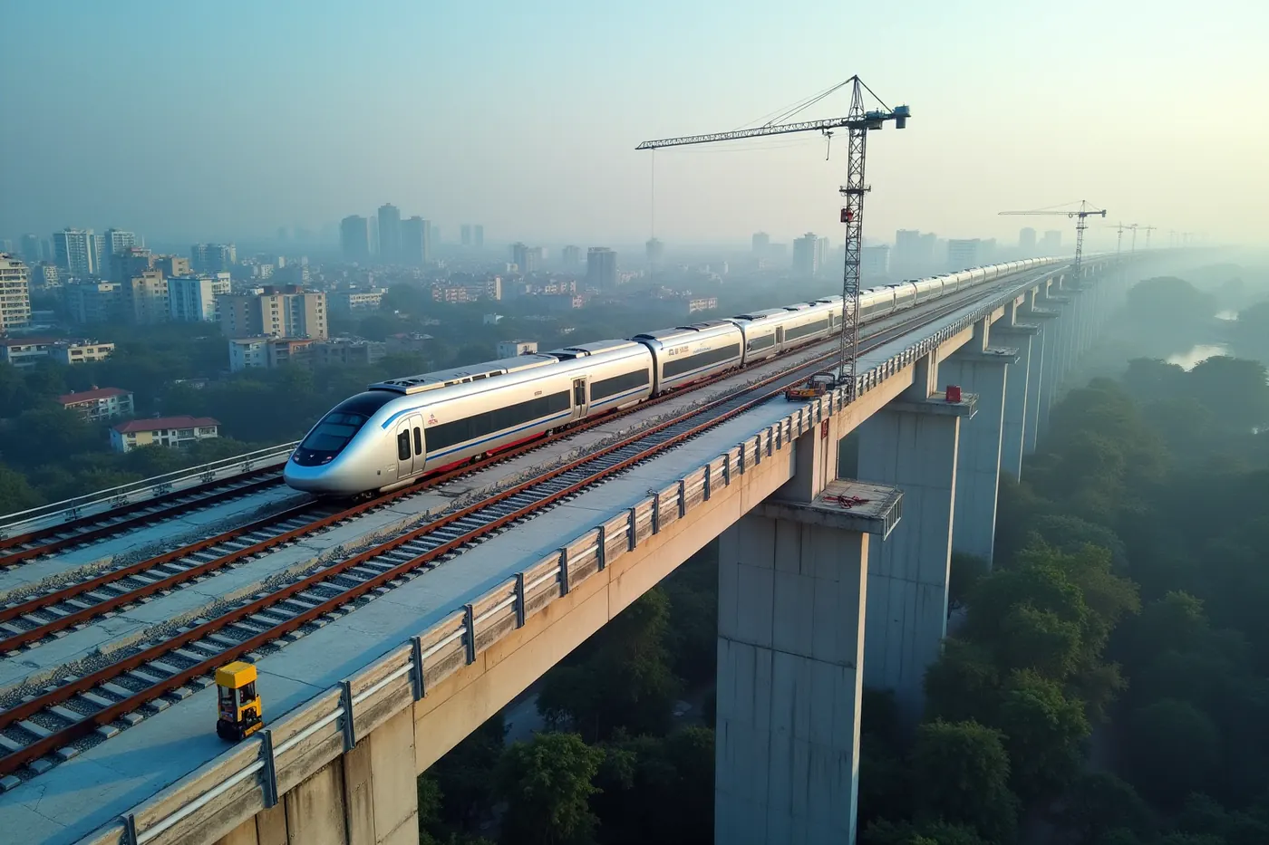
Aerial view of an elevated high-speed rail viaduct under construction through a city

In short

These are named projects, not stock examples. Flying Pixel has flown survey and progress work for L&T at Navi Mumbai Airport, NHSRCL on the bullet train terminal, Central Railway across two ghat corridors, EDF Energy at the Sawale hydro project, Adani Ports at Dighi, Aditya Birla Renewables in Kutch, Sterlite Power along a 200 km transmission corridor, and NHAI on highway works.

15yrs

Flying survey-grade missions in India

1lakh sq km

Mapped across corridors, sites and catchments

200+

Enterprise and government projects delivered

15+

Survey-grade aircraft in the fleet

Aerial view of an elevated high-speed rail viaduct on precast piers running through a dense Indian city at sunrise
High-speed railSabarmati, Ahmedabad, Gujarat

NHSRCL

Bullet train terminal construction survey

Aerial construction-progress survey of the high-speed rail terminal, with orthomosaics tied to the project grid so quantities and setting-out can be checked against design.

Delivered

Progress surveyOrthomosaic
Railway line curving through steep forested ghat mountains towards a stone tunnel portal, seen from above
RailwaysKarjat to Talegaon, Kasara to Igatpuri

Central Railway

Thermal and LiDAR survey across two ghat corridors

Aerial thermal and LiDAR survey through steep forested ghat sections. LiDAR reads ground level under canopy where photogrammetry alone cannot see the formation.

Delivered

LiDARThermalPoint cloud
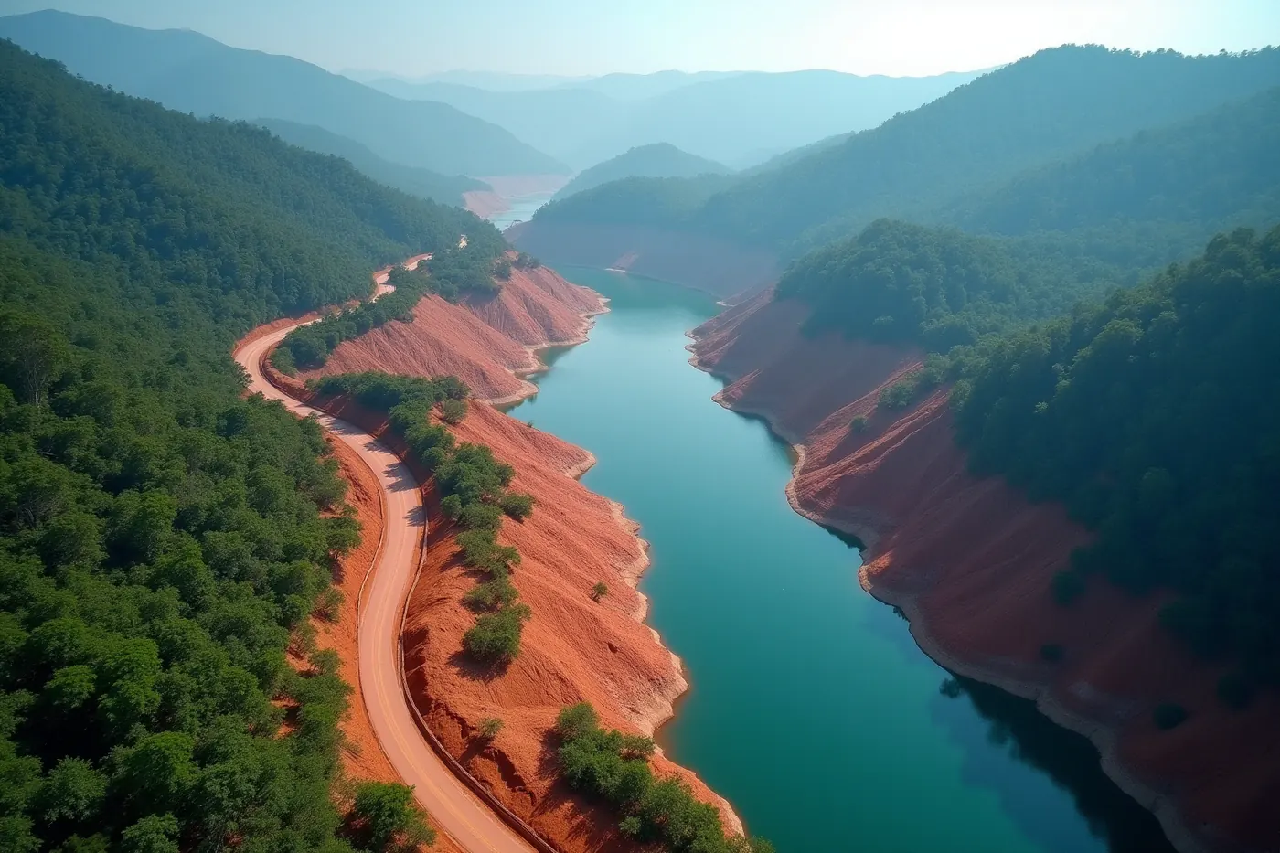
Aerial view of a reservoir and access roads cut into densely forested hills at a hydro-electric project site
Hydro-electricSawale, Maharashtra

EDF Energy

Sawale hydro project LiDAR survey

Aerial LiDAR survey across reservoir and slope terrain, classified to bare earth and delivered as a terrain model for penstock and access road design.

Delivered

LiDARDTMContours
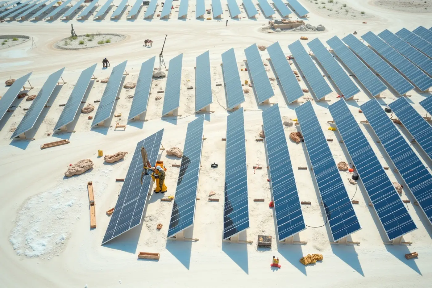
Aerial view of solar module rows being installed in a grid across white salt-crusted desert terrain in Kutch
Solar parksKutch, Gujarat

Aditya Birla Renewables

Utility-scale solar park topography survey

Aerial topography survey across flat salt-crusted terrain where small level changes drive the grading design and the module table layout.

Delivered

TopographyOrthomosaicContours
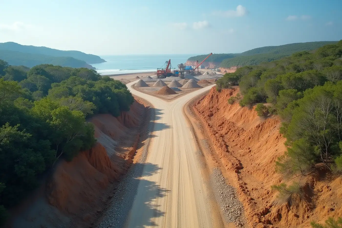
Aerial view of a graded gravel haul road cut through coastal scrub towards a stone crusher plant near the sea
PortsDighi, Maharashtra

Adani Ports

Dighi Port haul road setting-out survey

Topography survey to set out the haul road running to the stone-crusher plant, capturing existing ground for the cut and fill design before earthwork started.

Delivered

TopographySite set-outVolumes
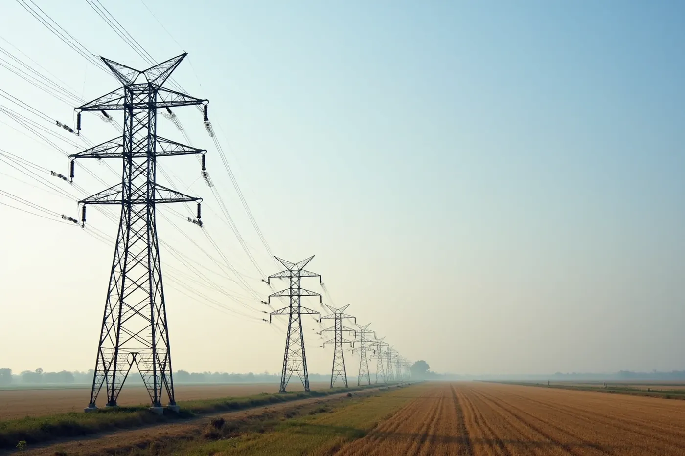
Steel lattice transmission towers receding in a straight line to the horizon across farmland at sunset
TransmissionIndia

Sterlite Power

Transmission line survey along a 200 km corridor

Corridor survey along 200 km of transmission alignment in a single mobilisation, mapping the right of way and ground profile that tower spotting depends on.

Delivered

LiDARCorridor mappingProfiles
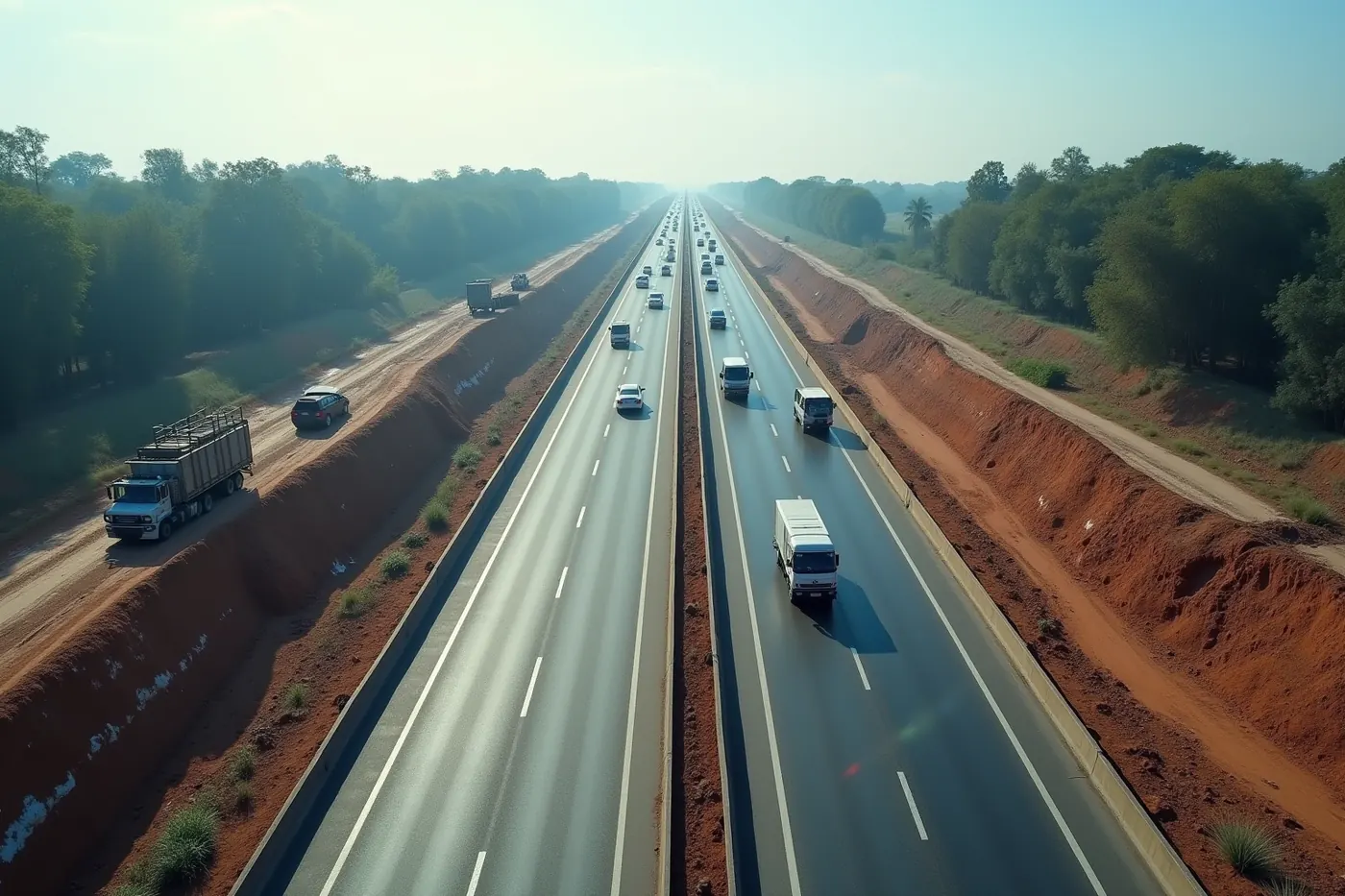
Aerial view along a national highway widening project with new lanes under construction beside the existing carriageway
HighwaysIndia

NHAI

Highway survey and construction-progress monitoring

Aerial survey and repeat progress monitoring across highway works, giving the project team measured earthwork quantities instead of estimated ones.

Delivered

Aerial surveyProgressVolumes

Detailed case studies for these projects are being prepared with each client's approval. If you want the method and accuracy detail behind any one of them for a tender, ask us for the project brief

Trusted by

Trusted on the projects that move India.

From metro airports to Himalayan hydro, enterprise and government teams hand Flying Pixel the survey the rest of the build depends on.

  • L&T
  • Adani Ports
  • Tata Power
  • Reliance Group
  • Sterlite Power
  • NHAI
  • NHSRCL
  • Central Railway
  • EDF Energy
  • Torrent Power
  • NHPC
  • Aditya Birla Renewables
  • Embassy Group
  • Takalkar Power
  • BL Kashyap

Client names shown with permission. Official logos are added as each client approves them.

References

The standards behind these claims

Certification, datum and coordinate system are not things a survey company gets to define for itself. These are the bodies that do.

Links checked and confirmed live on 12 August 2026.

FAQ

Questions about the work

If your question is not here, ask it in the enquiry form and a surveyor will answer it.

  • Are these real projects with real clients?

    Yes. Every project listed names the client, the site and what was handed over, and the client names are published with permission. We do not use stock imagery in place of work we have done. If you want to verify a particular engagement before appointing us, ask and we will arrange it.

  • Can you share a sample deliverable before we appoint you?

    Yes. We can share a representative deliverable set and, more usefully, the control and checkpoint report that sits behind it, which is what tells you whether the accuracy claim holds. Project-specific data belongs to the client who paid for it, so samples are shared with that in mind.

  • What kind of sites have you flown?

    Highways, airports, ports, high-speed rail, conventional railway through forested ghat sections, hydro-electric reservoirs and slopes, utility-scale solar parks, transmission corridors and township construction. The common thread is infrastructure where the survey has to hold up when quantities are certified or a design is signed off.

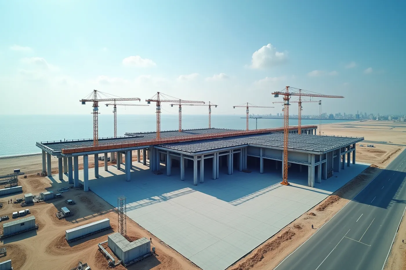
  • What was involved in the Navi Mumbai Airport work?

    Monthly aerial videography and photography across the airport build, flown to a repeatable flight path so each month lines up against the last for review. Delivered for L&T. Repeating the same mission is what makes month two comparable with month one rather than simply another set of pictures.

  • What did the Central Railway ghat survey involve?

    Aerial thermal and LiDAR survey through steep forested ghat sections, across the Karjat to Talegaon and Kasara to Igatpuri corridors. LiDAR was the deciding factor: it reads ground level under canopy, where photogrammetry alone cannot see the formation at all. Delivered as classified point cloud, thermal imagery and terrain data.

  • How large an area can you cover in one mobilisation?

    Corridor work scales well. We surveyed 200 km of transmission alignment for Sterlite Power in a single mobilisation. Area sites depend more on the accuracy required, because a tighter ground sample distance means lower flight height and more passes. Scope the tolerance first and the coverage figure follows from it.

  • Do you work for government bodies as well as private clients?

    Yes. Work has been delivered for NHAI, NHSRCL, Central Railway and NHPC alongside private clients including L&T, Adani Ports, Tata Power, Sterlite Power, EDF Energy and Aditya Birla Renewables. Public work is documented work, so those deliverables ship with the control report and certification a tender review expects.

  • Can you repeat a survey on the same site later?

    Yes, and repeat capture is where aerial survey earns most of its value. Flying a saved mission again means the new dataset aligns with the previous one, so change can be measured rather than estimated. That applies to construction progress, stockpile movement, and any site where quantities shift over time.

  • What sensors do you fly?

    Photogrammetric cameras for true-colour measurable imagery, LiDAR for ground under vegetation, and thermal for defect detection on solar fields and electrical assets. Sensor choice is made from the site and the deliverable, not from what is convenient. Mixed sites are often flown with more than one and the results merged.

  • Can we speak to a past client as a reference?

    Yes, subject to that client agreeing. Reference conversations are arranged on request during procurement, which is the point at which they are actually useful. We would rather you spoke to someone who has certified quantities from our data than rely on a logo on a page.

Request a survey

Have a site to survey?

Send the site boundary and your accuracy spec. We reply within one business day with an approach, a deliverable list and a quote.